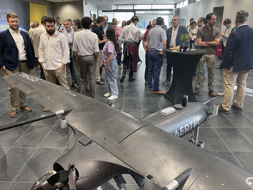
Some days ago, an event was held to present the GEODESY project that counted with the active and direct participation of representatives from the GEODESY project consortium, EUSPA (European Union Agency for the Space Programme) and the Spanish Space Agency. The event was organized by AERTEC on the occasion of World Space Week and it took place in the facilities of the Spanish Space Agency.
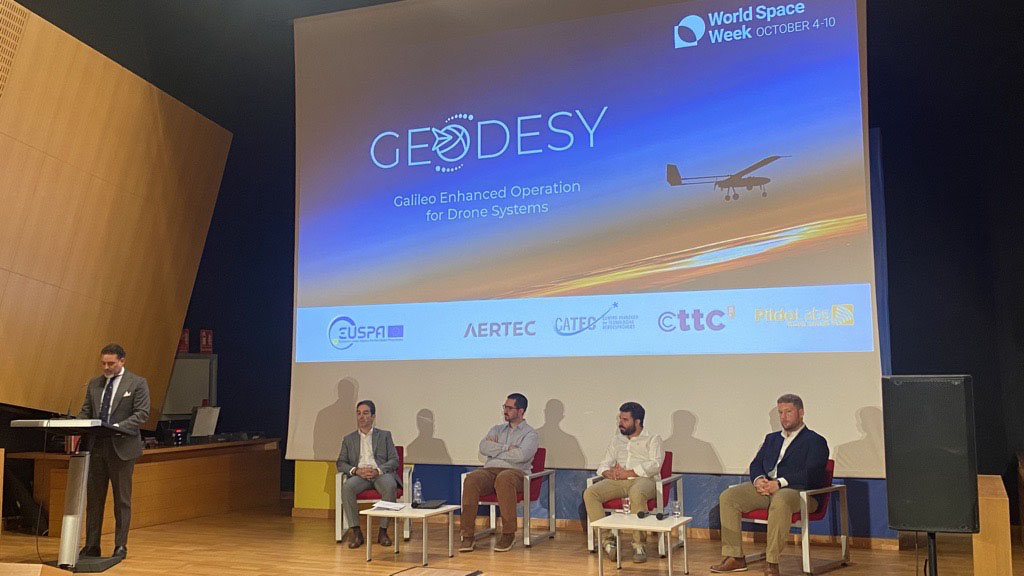
The GEODESY project focuses on the development of a multi-frequency / multi-constellation Galileo receiver that allows drones, UAS and VTOL navigation performance that meets highly demanding technical and operational requirements.
The schedule of the event was as follows:
11,30 -12,00h
Exhibition of a TARSIS-25 system. It is the same plane used for project flight tests.
12,00 – 12,05h
Opening.
RAFAEL MÁRQUEZ, AERTEC. Aerospace Systems Business Development Director
12,05 – 12,20h
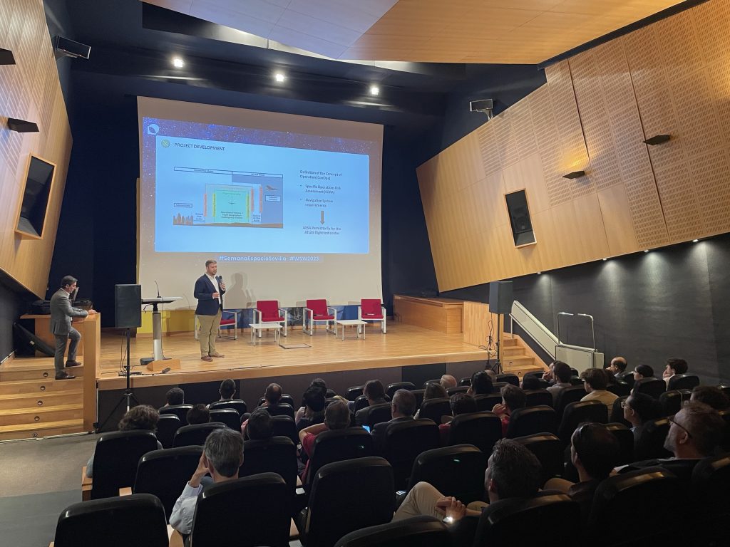
General presentation of the project.
“Services and data of the European space drone program”
CARMEN M. AGUILERA, EUSPA, Head of Section Operational Market Development.
12,20 – 12,35h
General presentation of the project. “Summary of GEODESY project results”.
PABLO AGÜERA, AERTEC, GEODESY Project Manager.
12,35 – 13,15h
Round table with consortium/project partners.
JAVIER GARRIDO, CATEC, Senior Avionics System Engineer.
JOSEP MONTOLIO, PILDO LABS, Project Manager.
CARLES FERNÁNDEZ, CTTC, Head of Navigation & Positioning
PABLO AGÜERA, AERTEC, Project Manager.
13,15 – 13,25h
Q&A
13,25 – 13,30h
Institutional closure.
MATÍAS URREA, Spanish Space Agency, Director of Institutional Relations and Communication.